Trail Dad - PNW Hikes
  • Home
  • Trip Reports
  • Our Hike Map
  • Outdoor Hacks - Camping | Hiking
  • GIS & Randomness

Whitewater Trail to Jefferson Park

8/17/2013

0 Comments

 
Picture
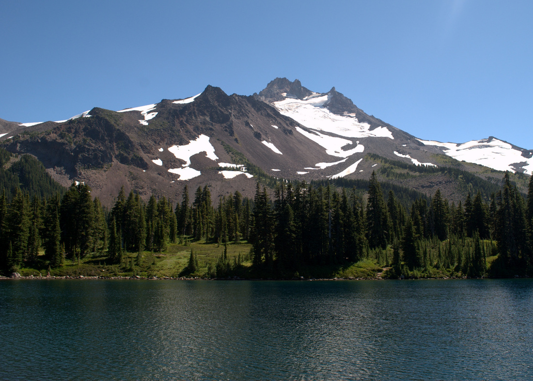
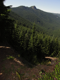
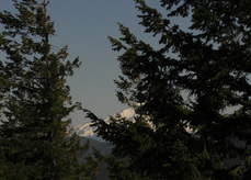
Mount Jefferson looking down on Scout Lake
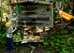
Fun Trail Facts

Picture
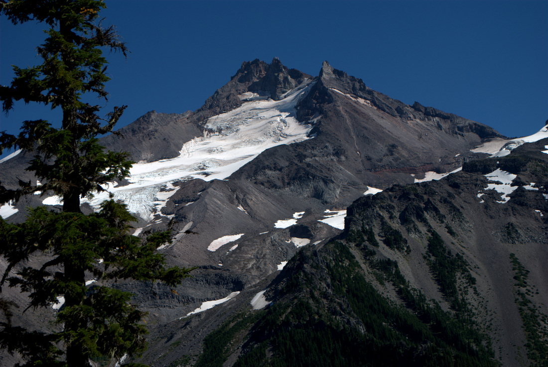
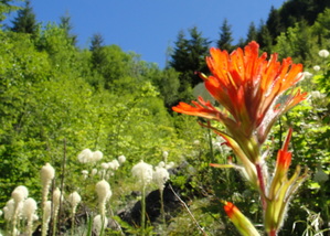
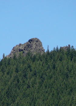
During the last few centuries, several small lakes were formed on the flanks of Mount Jefferson when small tributary valleys became dammed by glacial moraines (ridges of sediment left behind by glaciers). Several of these moraines have breached during the 20th century, producing local floods and small lahars.


From: Walder, et.al., 1999, Volcano Hazards in the Mount Jefferson Region, Oregon: USGS Open-File Report 99-24

How amazing is it that the gorgeously flat areas of Jefferson Park and the lakes therein are largely the work of glacial flooding!?
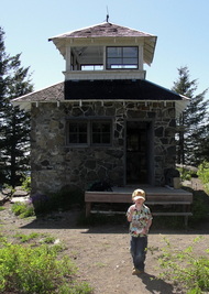
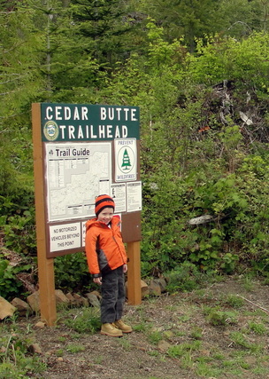
Trail Information

Picture
A little marriage between passions - hiking and GIS
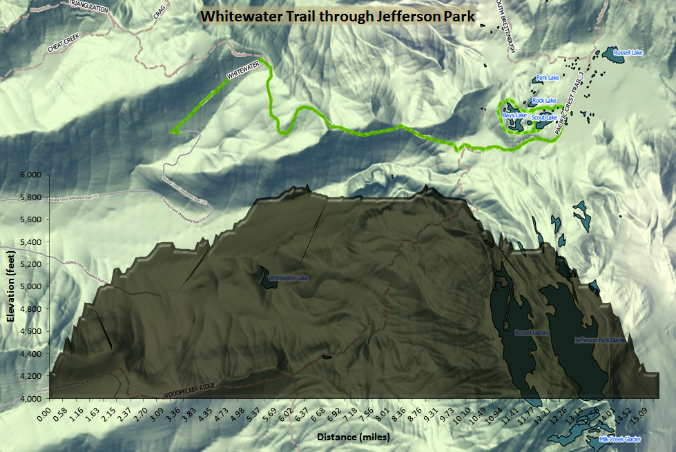
Hike Name
Whitewater Trail to Jefferson Park
County & State
Marion County, Oregon
Ecoregion
Cascades | Cascade Crest Montane Forest & Cascade Subalpine/Alpine
Forest
Willamette National Forest
Latitude & Longitude (DEC)
44.709841, -121.812846
Family Friendliness
Keeping in mind that this is a pretty grueling day hike, it was actually a pretty phenomenal one to have my 4-yo son along with me. The stretch along the edge of the Sentinel Hills has some drops on the right side that kept the lad close to me, but most of the hike is a gentle climb without much to be concerned about. On a Saturday in August, this trail was packed early in the morning and cleared out by late afternoon. 
Hike Difficulty
Difficult
Elevation
At Jefferson Park, 5,902 feet
Elevation Gain
1,800 feet
Distance
11.0 miles round trip from the Whitewater Trailhead to the Scout Lake. We went up and around the lakes a couple of times and ended up clocking about 15 miles.
Route Type
Out and back
Access to Trailhead
Access to the Whitewater Trailhead is pretty dang easy, accessible right of of North Santiam Highway 22, 10 miles past Detroit. The only caveat is that the first mile or so of the gravel road off of the highway has some major potholes. See here.
Fee
Northwest Forest Pass

Trip Report

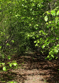
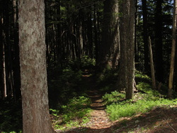
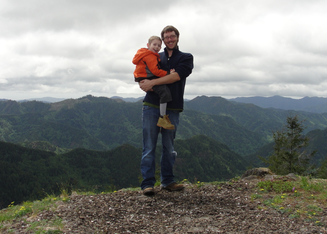
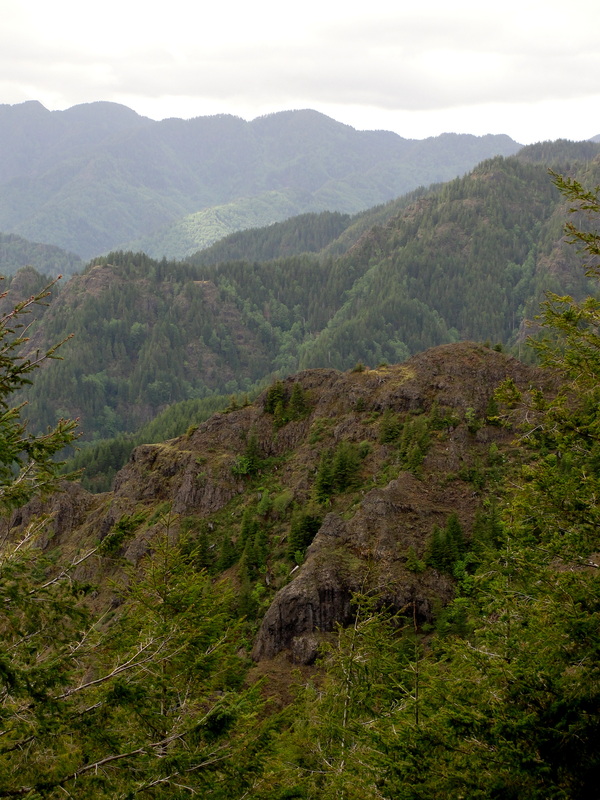
The hike from Whitewater Trailhead up to Jefferson Park through the Sentinel Hills is nothing short of amazing. It's a gorgeous, gentle climb on a very maintained trail that takes you from some pretty dense forest all the way to the subalpine ecoregion on the north side of Mount Jefferson. That said, it is lengthy, and after carrying the lad for about 3/4 of the entire way, I really understood why so many folks were backpacking along the banks of Scout Lake, Bays Lake, and Rock Lake!

With a lovely day in front of us, Trail-Son and I hoofed it many miles, flirting with Mount Jefferson the entire way. Along every single turn of the trail, that lovely mountain was right there saying hello. Mount Jefferson and Three Fingered Jack are the lad's favorite mountains, so it was really amazing to watch him "interact" with one of the two in such a close proximity. At one point, we could hear the water flow coming off of the area around the Jefferson Park Glacier, and I could have sworn the lad was having a full conversation with the mountain in response.

In another really awesome turn of events, the wee one has officially hiked part of the Pacific Crest Trail (~ 1% of the Oregon stretch)!

I learned the hard way on this trip that the few pounds that he has packed on this summer makes all of the difference with regard to carrying him up on my shoulders when he gets worn out. Granted, 15 miles will do that to you, but I hit Craigslist the next day and procured an amazing Kelty Kids FC 3.0 carrier from an awesome family that had put it through its paces in the Sierra Nevada. While the boy will get to use it for (maybe) the next year, it will definitely be ready for Trail-Daughter next summer and give my poor shoulders a bit of relief.

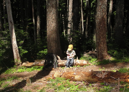
I could write about every step of this beautiful trail, but I'm just going to let a few pictures tell the tale. If you're up for a little bit of a crowd and either a long day hike or a really reasonable backpacking destination, this may be one of the best choices I've run across.
Picture
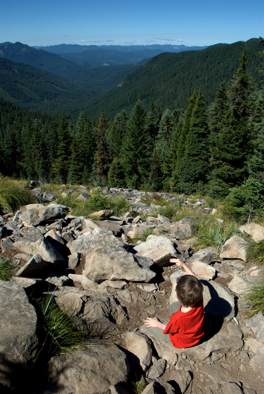
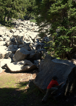
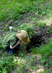
Hanging out among the scree (and pikas)
Picture
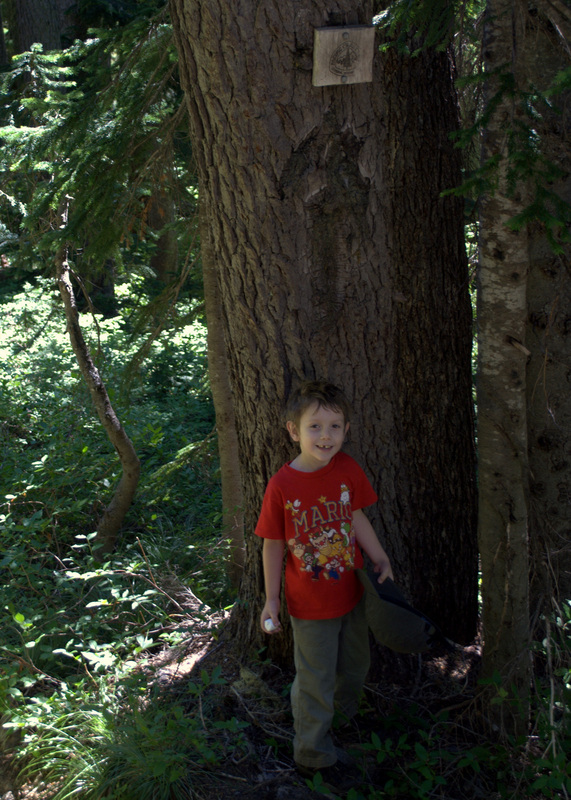
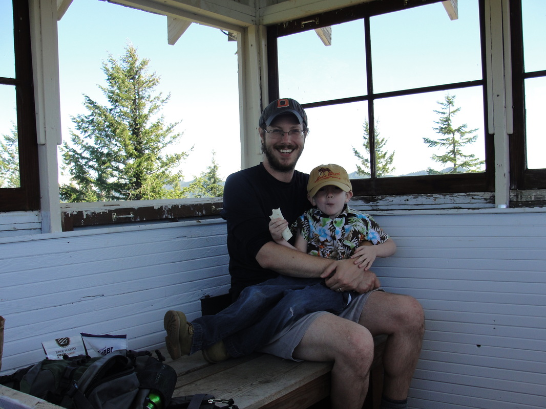
The lad's first foray onto the Pacific Crest Trail, complete with a marshmallow celebration.
Picture
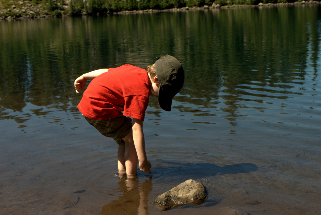
Taking some time to cool off in Scout Lake
Picture
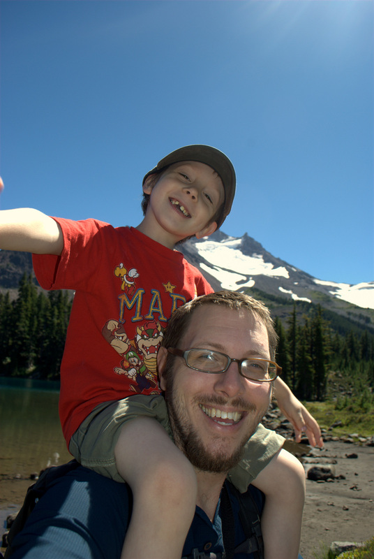
What an awesome day!

More Information

Picture
Willamette National Forest - Mt. Jefferson - Jefferson Park Trail Area (Forest Service)

Jefferson Park from Whitewater Trailhead Hike (Portland Hikers Field Guide)

Oregon Hikes - Jefferson Park (Oregon.com/William Sullivan)

Jefferson Park and Park Butte (Loomis Adventures)

Jefferson Park Trail - AllTrails.com

0 Comments

Pechuck Lookout

6/9/2013

1 Comment

 
Picture

Fun Trail Facts

Picture
Pechuck Lookout, a historic two-story cupola fire lookout, is listed on the National Historic Lookout Register (actually the second lookout to receive the honor). The lookout, one of the last stone cupolas in the Northwest, was built in 1918 and last staffed in 1964. 

Volunteers, the Pechuck Look Outs in Molalla, have done amazing work with the BLM to keep this amazing lookout cared for so that it remains accessible to hikers and backpackers. Nestled in the lovely Table Rock Wilderness (6,028 acres) of the Old Cascades, the lookout is available for overnight stays on a first-come, first-serve basis.

Trail Info

Park/Hike/Section Name
Pechuck Lookout via Rooster Rock Road Trailhead
County & State
Clackamas County, Oregon
Ecoregion(s)
Cascades | Western Cascades Montane Highlands
Forest
Table Rock Wilderness (Part of the BLM's National Wilderness System)
Latitude & Longitude (DEC)
44.9342886, -122.2978583
Family Friendliness
Let's just say I either held the lad's hand or had him on my shoulders for 90% of the hike. There are a few spots that are incredibly steep and nervous-making, especially at the summit.
Hike Difficulty
Difficult
Elevation
4,222 feet
Elevation Gain
1,580 feet
Distance
Pechuck Lookout from Rooster Rock Road Trailhead is 5.2 miles.
Route Type
Out and back
Access to Trailhead
The Molalla River Corridor is a beautiful, paved drive. Expect about 7 miles of pretty decent gravel roads to reach the Rooster Rock Road Trailhead.

Trip Report, Part I - Saturday, or the day I lost the trail

Picture
Armed with maps, food, and all other essentials, we set forth on Saturday in search of Pechuck Lookout. 

Warning: Wrong trail forthcoming.

After getting to the Rooster Rock Road Trailhead, we parked the car and gathered our gear up. Looking around, I saw a little embankment near the end of the parking area with a little trail beyond. It looked good, so we started on our way.

With a little bit of incline, things seemed to be jiving with the trail description I had printed out and put in my pocket. Then we needed to cross a stream. Umm, not mentioned in the description. Oh well.

Moving along, we strolled through a beautiful mid-mountain forest, admiring hundreds of butterflies that provided ample opportunities to teach the kiddo all about coloration patterns and what they can mean: camouflage a la' mimesis or warning colorations a la' "don't eat me."

Picture
Distracted, I checked the description again. Well, we sure weren't climbing 1,000 feet during the first mile of the trek. Checking my GPS, it definitely looked like we were heading in the general direction, but I knew something was awry, compounding the feeling I got immediately after we left the trailhead.

In any case, the trail continued and so did we. After some eventual steep uphill climbing (finally!), we reached a beautiful outcropping halfway up the southern side of the mountain. The rhododendrons, paintbrush, and beargrass were exploding. 

The smell! Oh, the smell! The only thing I can liken it to was sticking your nose in a bottle of honey and just inhaling. It was a scent for the ages.

Picture
While maintaining the loose trail, we kept forward and just enjoyed the heck out of each stop we could make.

Holes in the ground, complete with double-dog-dares to stick arms within. Neither of us took the other one up on it.

Monstrous banana slugs just aching for company as they slowly moved across a .... leaf.

Oregon flags in full bloom. 

Lunch time was in order, and we broke out the goodies. Prosciutto, sharp cheddar cheese, granola bars, and a few apples delivered the calories.

Picture
Heading out a bit further, we ran across rocky outcroppings that appeared to be more andesite than basalt. I'm venturing that this was some of the older rocks in the area, especially compared with the basalt that appear to make up Table Rock and Rooster Rock.

Speaking of the latter, I was able to line up where we were on the topographic map with a view of Rooster Rock. 

Well, we managed to go over two miles, but down the mountain from our original goal. Conclusion: Way off the original trail, crossing creeks we never should have crossed.

Making our way back, I was a little disheartened by the fact that the boy was disappointed. It was entirely his idea to see Pechcuck Lookout after seeing some amazing pictures and video of the place online. Not making it to the "castle on the mountain" really bummed him out.

I did everything possible to have him appreciate what had been accomplished and enjoyed throughout the day, but I still know it was a downer for him. I figured I would make it up to him during the next weekend or two. We got back to the car at the trailhead, and that was when I noticed the uphill trail that should have been our original destination.

Trip Report, Part II - Sunday, or the day we found Pechuck

Picture
Waking up Sunday morning, it was all about appraising what had to be done around the house versus returning to the Table Rock Wilderness so that we could go on the right trail and find Pechuck.

With clearance granted from my lovely wife, the lad and I kissed the ladies of the house goodbye and hit the road again.

This time, we pulled up to the Rooster Rock Road trailhead and immediately went to the trail so conveniently missed the previous day. Greeted by blooming rhododendrons, mushrooms, and beargrass, the initial part of the trail hid the fact that we would be going vertical for the next mile.

Picture
I am being dramatic. It was a steep incline, but the trail was soft and the switchbacks were placed perfectly to provide a nice pace during the 1,000' gain in that first mile or so.

I like to have the boy try his hardest to climb stretches of trail, but I did carry him for significant chunks on this one. When it was his turn to hike, there were two significant lessons I have learned with him during elevation gains:

  1. He always holds my hand on the side furthest away from any drops.
  2. Switchbacks uphill make great small "goals" for him to achieve. The reward is a break, a snack, some extra time on my shoulders, some goofing off, or usually a combination of every single one!

Picture
After making it to the top of the ridge and turning right (left takes you to Rooster Rock), there was a symphony of trillium and corn iris to meet us, as well as unbelievable views through the trees on either side.

The trail was largely flat for a while, but then dips quite a bit. While a relief after the climb up the mountain, it was definitely a reminder to be ready for coming back!

After stumbling across the old trailhead booth near an abandoned road atop the mountain, we started one more steep climb toward Pechuck Lookout. An eerie forest of secondary growth silver fir forest awaits, as does an amazing view of Table Rock near a rock face alongside the trail. 

Picture
Upon passing a composting toilet outhouse, we knew we were close! A little more sweat, and we saw the tip of Pechuck peering over the edge, and heard the cries of greetings from a lovely pair of hikers who had passed us on the way up.

After immediately scoping out the lookout and heading upstairs, it is easy to say that this was worth a day of being on the wrong trail and tackling the tougher correct trail to correct for it. 

It isn't only the history of the lookout that bled such neat feelings, but the sense of all folks who had trekked up that way and all of those having camped there. Reading the log book, and scribbling our own entry was in its own way an amazing gesture of camaraderie and a way to break bread with those before and after us. 

Picture
After exploring the lookout for a while longer and enjoying some well-needed calories, we spent a little bit of time scoping out Table Mountain and Mount Jefferson. As the picture to the left shows, it's pretty impressive to see the growth of trees around a historical lookout.

The boy was over the moon about Pechuck Lookout, and we had to go back up to the second story one last time before our departure. I promised him that we would be back one day to stay for an entire evening, but that will have to happen when he is a little more capable of carrying some extra pounds and not residing on my shoulders for 80% of the hike!

Checking the time, we bid the other hikers adieu and headed downward so that my poor wife would not worry too much about our whereabouts. It was a speedy departure on the descent, and a definite reminder of how tough my little guy was on the way up. I was really proud of him for tackling an entire weekend of some pretty good terrain and elevation gain. Pechuck - you are awesome.

More Information

Picture
Pechuck Lookout Hike (PortlandHikers.org)

Pechuck Fire Lookout Site (BLM)

Pechuck Lookout, Oregon (AMAXING pictures and video via Musgrove and Yogi)


1 Comment

Cedar Butte Trail

5/19/2013

0 Comments

 
Picture

Fun Trail Facts

Undated - Tillamook County Pioneer Museum
A fire lookout existed atop Cedar Butte back in 1908, built like a crow's nest. Years later and between forest fires, two iterations of a 40-foot timber tower and cab were also constructed. None of that remains today, but a hike up to the summit sure shows why it was such a good spot to keep an eye on things.

Trail Info

Hike/Section Name
Cedar Butte Trail
County & State
Tillamook County, Oregon
Ecoregion
Coast Range | Volcanics
Forest
Tillamook State Forest
Latitude & Longitude (DEC)
45.5905578, -123.6470461
Family Friendliness
A great hike with little ones; Caution toward the top.
Hike Difficulty
Difficult [lots of elevation gain in a very short distance]
Elevation
2,910 Feet
Elevation Gain
700 Feet
Distance
1.5 Miles
Route Type
Out and Back
Access to Trailhead
5.6 miles of fairly steep forest road that is deteriorated toward the top; Definitely dented my oil pan.

Trip Report

Picture
The original plan today was to hit the Guler Ice Cave, but that destination was scrapped due to the lad's consideration of its spookiness after seeing some ominous pictures. Rather than ruining spelunking forever for the poor boy, Plan B was enacted. The only problem, there was no Plan B. After some quick searching and scanning online, the crosshairs for today's adventure fell on Cedar Butte Trail in the Tillamook State Forest.

I was a little nervous about this hike, and it wasn't because of the 700' gain in .75 miles. That weighed a bit in the back of my mind, but it was the volume of cars this afternoon at every trailhead on Oregon Route 6 that really had me questioning today's choice of locale. That, coupled with the fact that there was a very recent article in Portland Monthly about the same destination. I just knew that we would get to the trailhead and be greeted by thirty Subarus.

Yeah, I was totally wrong about that. By the time we got up the mountainside on some pretty rough and muddy forest roads, there was not a single soul to be found at the trailhead parking. Guys on dirtbikes cruised by, but it turned out that we were on our own for the entirety of the hike.

Picture
Starting out in a pretty open harvested area, the first part of the trail was nice and mellow. Every bit of that terrified me, knowing that we initially had three-quarters of a mile to scramble 700 feet up, and that initial mellowness burned about a quarter of the implied distance. Now, we're talking less distance to deal with the same elevation gain. How fun.

Before hitting the switchbacks that announced nearly vertical climbing (whiny exaggeration, but I did have a 35 pound child atop my shoulders), we got to spend some great time looking at the results of previous burns in the area, and I had a grand time pantomiming the great Tillamook Burn.

Picture
Cruising through the closed single canopy forest really highlighted the results and timing of replanting in the area after all of the fires. Once we emerged out of this forest and saw Cedar Butte in the distance, the magic really started. Beargrass, wood sorrel, penstemon, and Indian paintbrush just lit up the place.

One last (and steep) chunk of trail led us to the top of the butte, rewarding us with a true prairie fire of flowers and an ocean of green stretching from our position to the Pacific. A couple of rugged benches provided a nice spot to rest, and we enjoyed a fine lunch - peanut butter burritos, apples, sauteed sausage, and the obligatory granola bars.

In one of my favorite moments of the day, the young'un was quite agitated at the sight of some garbage up on the summit. There was some thick glass broken about and a few food wrappers. For background, he has been saying "bad polluters" every time we come across rogue garbage littered anywhere. He asked me if he could talk to them about what they did, and I said, "Sure, Kiddo." He stepped away from me and toward the edge, yelling at the top of his lungs, "Bad polluters! Stop leaving your things on the ground!" as though all of them would hear him from way up there. We picked up what we could, and I was left beaming about the righteous anger he expressed.

Picture
All told, that lowly little 0.75 miles took us the better part of an hour to climb. We took lots of pictures along the way, but it is definitely a testament to the elevation gain. On the other hand, the way down may have been twenty minutes or so.

Short and sweet and sweaty. This was a really grand hike that has bitten me with desires to tackle some more of the Tillamook State Forest. I think Elk Mountain is off the table with the lad's presence, but I'm sure we'll figure out some appropriate places to hit

More Information

Tillamook State Forest Trail Guide

Portland Monthly Trail of the Month (Brian Barker, 5/1/2013)
0 Comments

    Spencer Haley

    I love my kids. I love hiking. This is the intersection.

    Tweets by @Trail_Dad

    RSS Feed

    Categories

    All
    Camping
    Cascades
    Coast Range
    Difficult Hike
    Easy Hike
    Fire Lookout
    Gifford Pinchot National Forest
    Lake
    Moderate Hike
    Mount St. Helens
    Santiam State Forest
    Siuslaw National Forest
    Stream/River
    Tillamook State Forest
    Vista/View
    Volcano
    Waterfall
    Wildflowers
    Willamette Valley

    Archives

    July 2017
    July 2015
    June 2014
    March 2014
    August 2013
    July 2013
    June 2013
    May 2013
    April 2013
    September 2012
    July 2012

    RSS Feed

Powered by Create your own unique website with customizable templates.