Trail Dad - PNW Hikes
  • Home
  • Trip Reports
  • Our Hike Map
  • Outdoor Hacks - Camping | Hiking
  • GIS & Randomness

Cascade Head - Nature Conservancy Trail

7/15/2013

0 Comments

 
Picture

Fun Trail Facts

Picture
Cascade Head was protected from development in the early 1960's, and by 1966, volunteers had raise enough money to purchase the property and transfer it to the Natural Conservancy.

Not only is Cascade Head Preserve a National Scenic Research Area, but it is also considered a United Nations Biosphere Reserve.

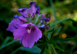
There are some extremely rare organisms that call Cascade Head home. On the plant side, the rare hairy checkermallow and 99% of the world's population of Cascade Head catchfly live here. The threatened Oregon silverspot butterfly finds nourishment for its larvae in the early blue violets that frequent the area, and may be seen fluttering around.

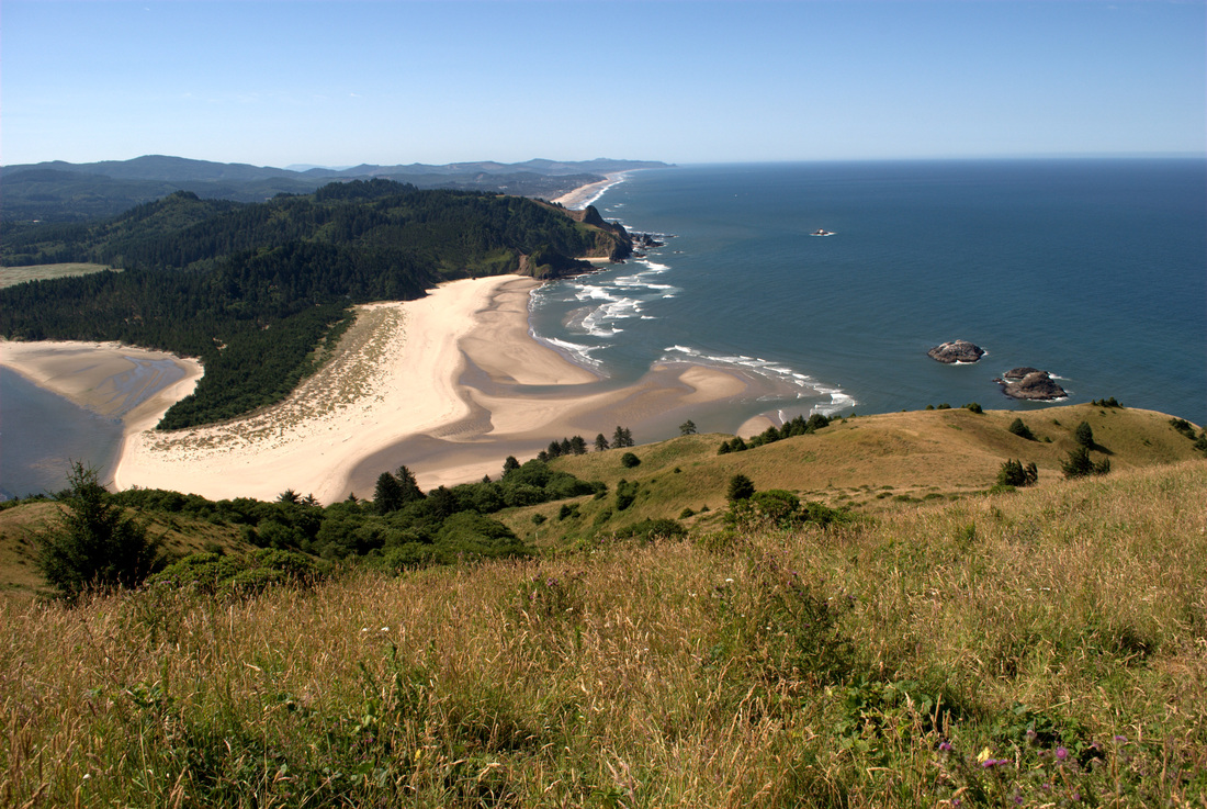
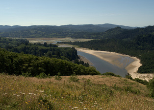
The area is a beautiful combination of different environments, including an estuary (Salmon River), river system, ocean edge, and higher elevation headland and forest.


Trail Information

Hike Name
Cascade Head Nature Conservancy Trail, Lower to Upper Trailhead and Back Again
County & State
Tillamook County, Oregon
Ecoregion
Oregon Coast Range | Coastal Uplands
Forest
Willamette National Forest
Latitude & Longitude (DEC)
45.0567729-124.0048364
Family Friendliness
For the most part, I was very comfortable having my 4-y.o. son with me on this hike. That said, the cliffs at the top are not very far from the trail and they mean business! We're talking hundreds of feet down, and a straight drop at that. The length was a bit rough, and the trail itself is very thin at times with vertically cut edges that can be rough on little legs. These latter concerns would be easily remedied by doing the shorter 1-mile hike from the upper trailhead.
Hike Difficulty
Moderate
Elevation
At the height of the trail, ~ 1,345 feet
Elevation Gain
1,200 feet
Distance
8.4 miles round trip from Knight Park to the Upper Trailhead near Hart's Cove Trail
Route Type
Out and back
Access to Trailhead
Access to Knight Park, site of the lower trailhead, is amazingly easy. There are no dirt or gravel roads to traverse, and it is located just minutes off of Highway 101. See here.
Fee
None. However, there are a couple of donation boxes that help the folks at the Nature Conservancy maintain this place of beauty (hint, hint).
Hiking Notes
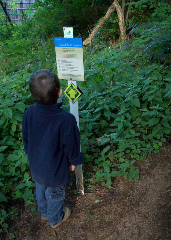
This area is so ecologically sensitive, it is really important to stay on the trail and not bring pets.
Picture

Trip Report

Picture
My son and I left our house at four in the morning, and his chipper demeanor at such an ungodly hour of being woken up surprised me to no end. While I was struggling to make coffee for the drive, he was bright-eyed and getting dressed. In short order, we were loading the car up and heading toward the Oregon Coast surrounded in darkness.

By the time we reached Knight Park, the sun had just started showing itself, bathing everything in a beautiful glow. We made our way throughout the initial hiking trails, listening to hundreds of birds chattering away. The trail dives a bit into plantation forest, popping up again for a little roadside hugging, and then begins the uphill descent at what appeared to be the original trailhead.
Picture
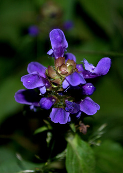
Before much longer, we were feasting on salmonberries and stalking flowers with the camera. The floral varieties were absolutely amazing, and more pictures of them may be found here.

One of the lessons I have solidly acquired during the past couple of years of hiking with my son is that you must always be prepared for ten-, twenty-, or thirty-minute intermissions when a new critter is found. On this hike, he spent the better part of that time observing (and gently petting) a millipede that was crossing the trail. There are fewer things in the world more peaceful than watching his eyes light up with amazement during such bouts of curiosity.

The trail through the forest was heavily root-laden, so do consider your ankles when making your way through the area. There are several very recent-looking bridges that cross streams during this section of the hike.

Upon breaking free of the Sitka hemlock, Douglas-fir, and red alder, we came upon our first major ocean views and the absolutely stunning prairie headlands. The trail here is rather thin with some deeply cut edging, so again, keep those ankles safe!

Picture
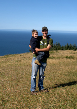
After making our way through several switchbacks, we found ourselves near the summit of the prairie. Nearby cliffs showcase the beauty of the shore below, but the posted warnings are absolutely worthwhile. With gusts of wind periodically kicking up, I can't imagine anyone being of sound mind that would stand close to those edges. I held onto the boy more tightly than usual as we passed the area.

In an interesting twist, we met our first hiker on the trail at this point. He was a really nice guy, who was admiring the boy's appearance out there. Then he dropped the bombshell on us that he has made the hike over 1,600 times! We joked about him knowing every Oregon silver spot butterfly by name, and then went our merry way.

Past the prairie summit and along the north side of the ridge, the trail is immediately swallowed up in forest. Hiking along what seems to be an old road, we made our way through the cool trees and had another ample opportunity to gorge on salmonberries. Within a mile or so, we found ourselves at the Upper trailhead. Signs were posted that no further exploration was allowed until after July 15th, which put us a few days out. We will definitely be back that way to explore Hart's Cove!

I hoisted the boy upon my shoulders and we returned from whence we came. I was absolutely amazed that he was able to hike four miles during this trek, and all of them the uphill portion. I thought that I would surely be carrying him for at least 5 or 6 miles of the hike, but his tenacity broke my assumption. On the way down, we took a few more pictures and spent some extra time gazing out at the ocean as we nibbled on some snacks.

By the time we got back to Knight Park, the masses were descending on the trail. I can't exclaim how happy I was that we got out there at the time we did. It was cool and isolated, allowing us to block the trail to watch millipedes march or garter snakes slither into the grass.

Cascade Head truly is a beautiful place, and reading about the ecosystems and research that comes from the area only heightens my appreciation. The next time I see thinned forests or read about estuary health for anadromous fish, I will be thinking of the natural beauty and science that occurs in that magical area.

More Information
Picture
Cascade Head Preserve in Oregon | The Nature Conservancy

Cascade Head Hike | Portland Hikers

Cascade Head | Wikipedia

Cascade Head Scenic Research Area | Siuslaw National Forest

Cascade Head Experimental Forest | US Forest Service

0 Comments

Iron Mountain

7/6/2013

3 Comments

 
Picture

Fun Trail Facts

Picture
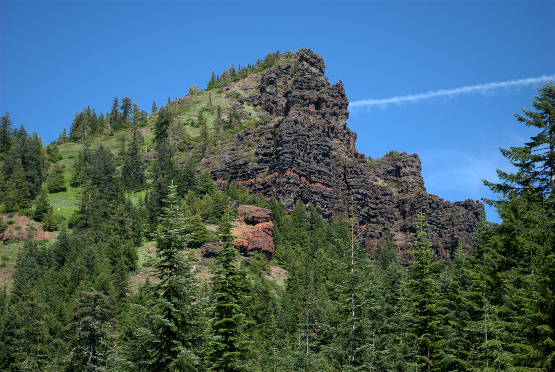
Iron Mountain is 30 million years older than its towering neighbors to the East, and this maturity definitely shows in the varied habitats one encounters hiking to the top. A pamphlet at the trailhead mentions that Iron Mountain is home to 18 different plant communities, ranging from rock, meadow, forest, and water.

The region is often touted as hosting more than 300 species of flowers during the first part of July. 

Trail Info

Hike Name
Iron Mountain Trail #3389
County & State
Linn County, Oregon
Ecoregion
Cascades | Western Cascades Montane Highlands
Forest
Willamette National Forest
Latitude & Longitude (DEC)
44.4009571, -122.1509036
Family Friendliness
With the exception of the cliffs along Iron Mountain's peak, this is one of the friendliest hikes we have been on all season. That said, still one that necessitates a grand amount of hand holding as the elevation gains.
Hike Difficulty
Moderate
Elevation
5,157 feet
Elevation Gain
800 feet
Distance
2.4 miles round trip
Route Type
Out and back
Access to Trailhead
Really easy to reach the upper trailhead, with just a couple of miles of decently worn gravel road going uphill after turning past mile marker 62 on Hwy 20. Multiple trail heads exist depending on what you want to accomplish (Cone Peak Trail; Santiam Wagon Road). See here.
Fee
Northwest Forest Pass

Trip Report

Picture
The claims of 300 species of flowers showing off their wares during the first part of July are no exaggeration. The lad and I lost count at about fifty!

We had big plans a week ago to do some major camping near Iron Mountain, but untimely car troubles (are there any other kind?) sunk that prospect. With some new wheels to get us from Point A to Point B, it was time to initiate the new vehicle with a good trek to the Willamette National Forest.

The trailhead was hopping when we arrived, and excitingly, it was loaded with little hikers. I can't remember the last time I saw so many little legs coming and going on the trail! 

Informative brochures await at the trailhead, as do some pretty great maps of all the hiking trails that intersect Iron Mountain. Major kudos to the Sweet Home Rangers for hooking us up with such material. 

We were running a bit late that day, so we had opted for the shortest hike straight from the Iron Mountain trailhead, but trust me, the lengthier Cone Peak Trail is on the agenda for another time.

Picture
Before departing the trailhead, I asked the boy if he needed to use the facilities. He replied with a negative, and we started uphill. In a moment of parenting truism, he told me that he did indeed need to use the restroom about 300 yards later. 

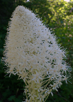
The U-turn provided some great opportunities to deeply breathe in the blooming beargrass, and when asked why he couldn't just go potty in the woods, I was able to take the moment and explain what a sensitive area was and why stomping through it unnecessarily was never a good idea.

Upon hitting the trail again, we started upward. I am consistently becoming surprised at how strong the little guy is getting; He managed to do the entire trek upward on his own, passing otherwise fit-looking adults who were winded at times. Having a four-year-old cruise past you was sufficient motivation for those couple of folks to keep going!

After a while, the terrain really opens up as you move out of the forest and into the rocky meadows. Every few feet of elevation brought forth more and more floral surprises. The colors, the scents, the butterflies and bees. Combined with switchbacks that framed Mount Jefferson and the Three Sisters, and you  truly have one of the most beautiful spots in Oregon.

Picture
At the summit, an absolutely gorgeous viewing platform awaits, where you can take a rest, grab a bite, and count the peaks all around you. There is even an informative display that points out every hill and mountain viewable from up there.

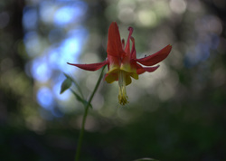
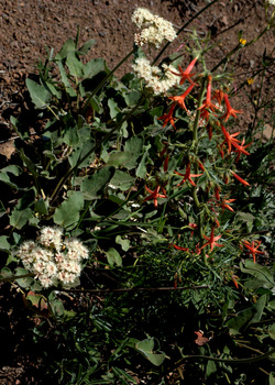
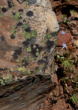
While eating lunch, the boy and I had a chance to go through some of our pictures and identify flowers based on the informational brochure we picked up at the trailhead:

Baldhip Rose blossom (Rosa gymnocarpa)
Wooly Sunflower (Eriophyllum lanatum)
Oregon, Creamy, and Spreading Stonecrops (Sedum oreganum, oregonense, & divergens)
Scarlet Gilia (Ipomopsis aggregata)
Blue Mountain Larkspur (Delphinium depauperatum)
Crimson columbine (Aquilegia formosa)
Beargrass (Xerophyllux tenax)

This was only a fraction of our pictures, and we still have a lot of identification to perform! 

I played porter for the trip down, with the lad on my shoulders the whole way down. 

In moments that melted my heart (and those of some folks coming up the trail), he was singing an impromptu hiking song all about going the right way or the wrong way when you come to a fork in the trail. It was tough to beat the beauty of the botanical masterpieces all around, but I think he pulled it off.

More Information

Picture
Iron Mountain Trail @ Forest Service

Iron Mountain Hike @ Portland Hikers

Iron Mountain Wildflowers

Wildflowers of the Western Cascades by Robert Ross (Timber Press, 1988)


Picture
3 Comments

    Spencer Haley

    I love my kids. I love hiking. This is the intersection.

    Tweets by @Trail_Dad

    RSS Feed

    Categories

    All
    Camping
    Cascades
    Coast Range
    Difficult Hike
    Easy Hike
    Fire Lookout
    Gifford Pinchot National Forest
    Lake
    Moderate Hike
    Mount St. Helens
    Santiam State Forest
    Siuslaw National Forest
    Stream/River
    Tillamook State Forest
    Vista/View
    Volcano
    Waterfall
    Wildflowers
    Willamette Valley

    Archives

    July 2017
    July 2015
    June 2014
    March 2014
    August 2013
    July 2013
    June 2013
    May 2013
    April 2013
    September 2012
    July 2012

    RSS Feed

Powered by Create your own unique website with customizable templates.