Trail Dad - PNW Hikes
  • Home
  • Trip Reports
  • Our Hike Map
  • Outdoor Hacks - Camping | Hiking
  • GIS & Randomness

Whitewater Trail to Jefferson Park

8/17/2013

0 Comments

 
Picture
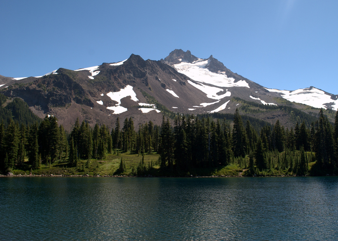
Mount Jefferson looking down on Scout Lake

Fun Trail Facts

Picture
During the last few centuries, several small lakes were formed on the flanks of Mount Jefferson when small tributary valleys became dammed by glacial moraines (ridges of sediment left behind by glaciers). Several of these moraines have breached during the 20th century, producing local floods and small lahars.


From: Walder, et.al., 1999, Volcano Hazards in the Mount Jefferson Region, Oregon: USGS Open-File Report 99-24

How amazing is it that the gorgeously flat areas of Jefferson Park and the lakes therein are largely the work of glacial flooding!?

Trail Information

Picture
A little marriage between passions - hiking and GIS
Hike Name
Whitewater Trail to Jefferson Park
County & State
Marion County, Oregon
Ecoregion
Cascades | Cascade Crest Montane Forest & Cascade Subalpine/Alpine
Forest
Willamette National Forest
Latitude & Longitude (DEC)
44.709841, -121.812846
Family Friendliness
Keeping in mind that this is a pretty grueling day hike, it was actually a pretty phenomenal one to have my 4-yo son along with me. The stretch along the edge of the Sentinel Hills has some drops on the right side that kept the lad close to me, but most of the hike is a gentle climb without much to be concerned about. On a Saturday in August, this trail was packed early in the morning and cleared out by late afternoon. 
Hike Difficulty
Difficult
Elevation
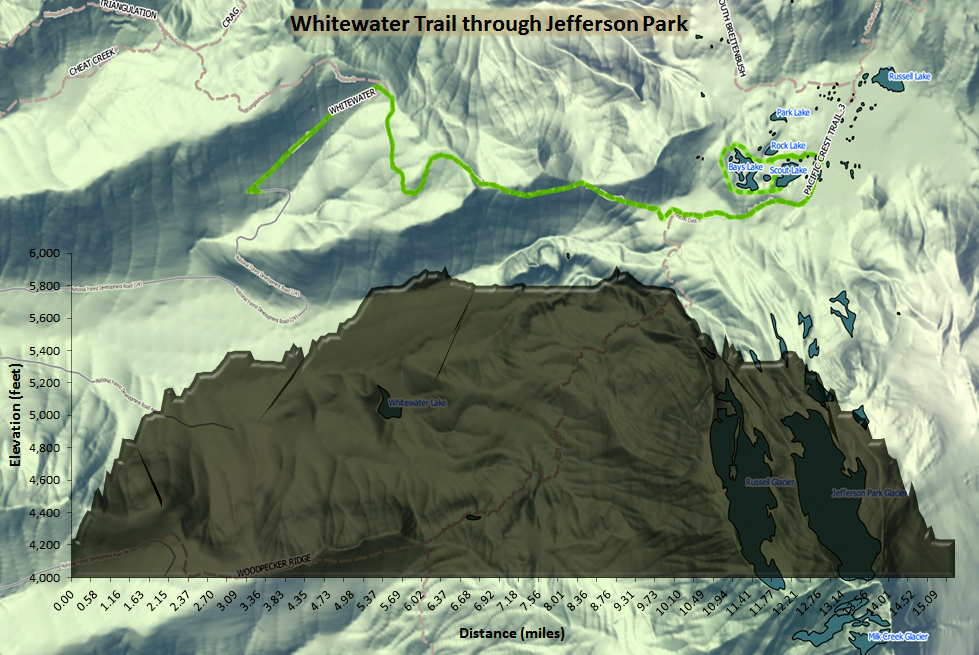
At Jefferson Park, 5,902 feet
Elevation Gain
1,800 feet
Distance
11.0 miles round trip from the Whitewater Trailhead to the Scout Lake. We went up and around the lakes a couple of times and ended up clocking about 15 miles.
Route Type
Out and back
Access to Trailhead
Access to the Whitewater Trailhead is pretty dang easy, accessible right of of North Santiam Highway 22, 10 miles past Detroit. The only caveat is that the first mile or so of the gravel road off of the highway has some major potholes. See here.
Fee
Northwest Forest Pass

Trip Report

The hike from Whitewater Trailhead up to Jefferson Park through the Sentinel Hills is nothing short of amazing. It's a gorgeous, gentle climb on a very maintained trail that takes you from some pretty dense forest all the way to the subalpine ecoregion on the north side of Mount Jefferson. That said, it is lengthy, and after carrying the lad for about 3/4 of the entire way, I really understood why so many folks were backpacking along the banks of Scout Lake, Bays Lake, and Rock Lake!

With a lovely day in front of us, Trail-Son and I hoofed it many miles, flirting with Mount Jefferson the entire way. Along every single turn of the trail, that lovely mountain was right there saying hello. Mount Jefferson and Three Fingered Jack are the lad's favorite mountains, so it was really amazing to watch him "interact" with one of the two in such a close proximity. At one point, we could hear the water flow coming off of the area around the Jefferson Park Glacier, and I could have sworn the lad was having a full conversation with the mountain in response.

In another really awesome turn of events, the wee one has officially hiked part of the Pacific Crest Trail (~ 1% of the Oregon stretch)!

I learned the hard way on this trip that the few pounds that he has packed on this summer makes all of the difference with regard to carrying him up on my shoulders when he gets worn out. Granted, 15 miles will do that to you, but I hit Craigslist the next day and procured an amazing Kelty Kids FC 3.0 carrier from an awesome family that had put it through its paces in the Sierra Nevada. While the boy will get to use it for (maybe) the next year, it will definitely be ready for Trail-Daughter next summer and give my poor shoulders a bit of relief.

I could write about every step of this beautiful trail, but I'm just going to let a few pictures tell the tale. If you're up for a little bit of a crowd and either a long day hike or a really reasonable backpacking destination, this may be one of the best choices I've run across.
Picture
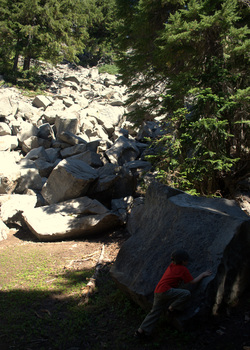
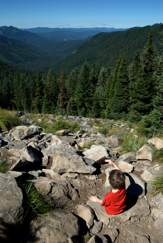
Hanging out among the scree (and pikas)
Picture
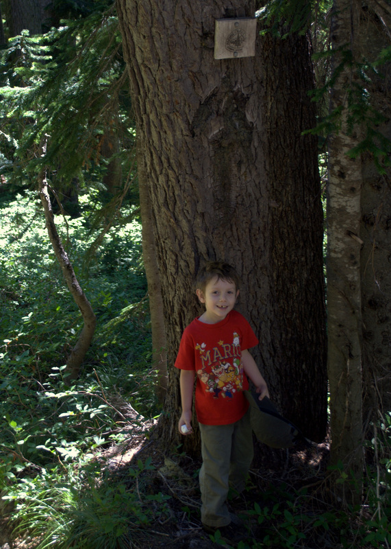
The lad's first foray onto the Pacific Crest Trail, complete with a marshmallow celebration.
Picture
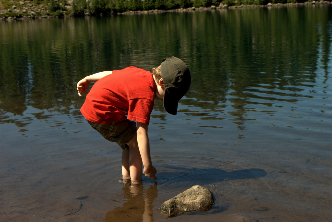
Taking some time to cool off in Scout Lake
Picture
What an awesome day!

More Information

Picture
Willamette National Forest - Mt. Jefferson - Jefferson Park Trail Area (Forest Service)

Jefferson Park from Whitewater Trailhead Hike (Portland Hikers Field Guide)

Oregon Hikes - Jefferson Park (Oregon.com/William Sullivan)

Jefferson Park and Park Butte (Loomis Adventures)

Jefferson Park Trail - AllTrails.com
0 Comments

Norway Pass & Lava Tubes

7/21/2012

0 Comments

 
Picture

Fun Trail Facts

Picture
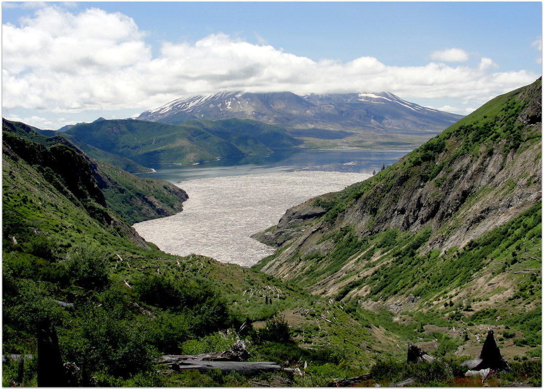
Right after the eruption of Mount St. Helens, local newspapers reported that Spirit Lake (pictured above) had all but disappeared, as it appeared indistinguishable from the Dante-esque landscape in the Blast Zone on the south facing slopes of the mountain. In reality, it was just camouflaged underneath the felled forest and volcanic debris that was floating on its surface. While it is a gorgeous blue lake now, an ever-present reminder of the eruption over thirty years ago remains; A ghostly layer of floating trees remains on part of its surface, giving the impression of ice when first glanced upon.

No fish were found in Spirit Lake until 1993, 13 years after the eruption. Recent population counts have shown expansion in both abundance and growth rates.


Trail Info

Hike/Section Name
Boundary Trail #1 Norway Pass TH to Norway Pass
County & State
Skamania County, Washington
Ecoregion
Cascades | Western Cascades Montane Highlands
Forest
Gifford Pinchot National Forest
Latitude & Longitude (DEC)
46.3101110, -122.1056504
Family Friendliness
Tough hike for Dad the pack mule, but a pretty phenomenal hike for the little guy. Rarely was I nervous about the lad hiking by himself next to me. 
Hike Difficulty
Moderate [lengthy with some decent elevation gain]
Elevation
4,518 Feet
Elevation Gain
873 Feet
Distance
4.5 Miles
Route Type
Out and Back
Access to Trailhead (Link)
A breeze. After taking Forest Road 26 from NF-99, you come right up on the parking for the trailhead. 

Trip Report

Picture
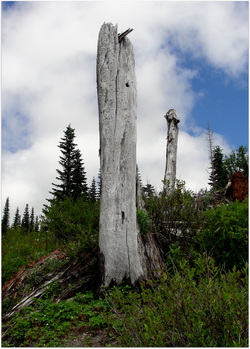
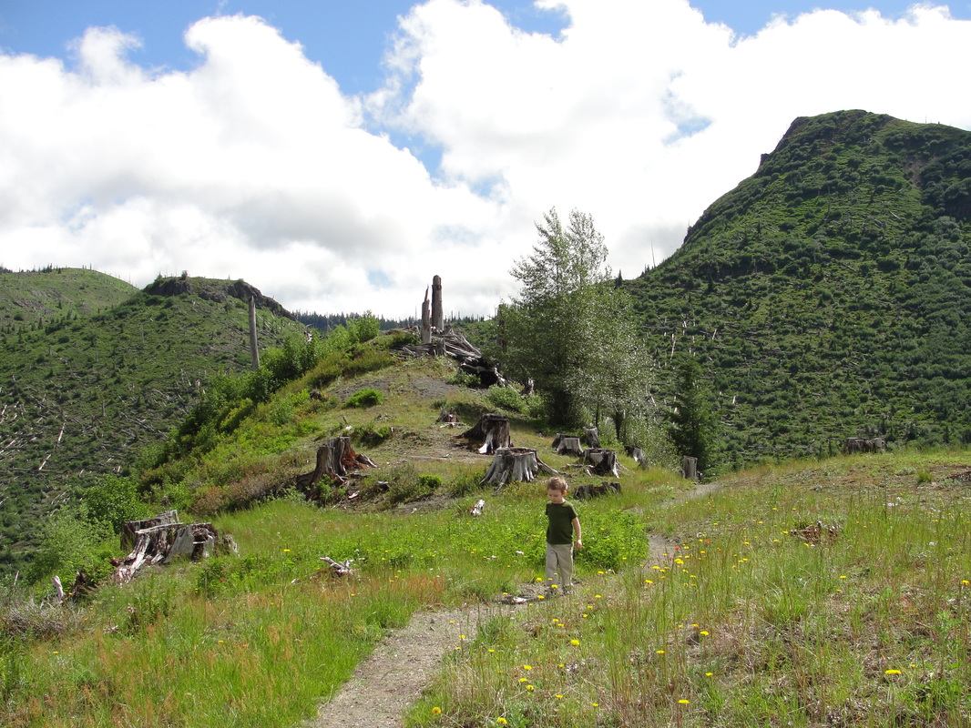
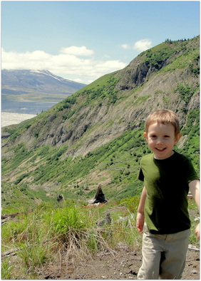
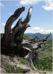
Taking the Boundary Trail from the Norway Pass Trailhead up to Norway Pass was an amazing journey for us. The drive alone was awe-inspiring, watching the landscape change from beautiful Cascade forest into a rugged and desolate terrain, where the skeletons of scorched trees still point upward at the sky. 

The trip up to Norway Pass is situated right in the middle of this zone, but the thirty-plus years since the eruption have softened the absolute destruction. Nearby Meta Lake and the wildflowers everywhere provide a welcome contrast to the pumice-laden and barren stretches that hint at what was the rule of the area rather than the exception.

Picture
Speaking of barren, this hike was a dry and dusty journey. Really, really, really dusty. 

I should know better than to think such things, but every time we got ash and dust on us, I kept thinking about how we were inhaling fragments of pulverized rock, minerals, and volcanic glass.

Being late July, it was a sweltering journey at times as well. Until we hit the snow. More on that later. 

For those reasons, I highly recommend that you start this trek early in the day and definitely take more water than you think you'll need. I'm usually in the position of constantly offering my son water to make sure he stays hydrated during such trips, but this was one journey that he needed no extra prodding.

FYI - There is a fantastic water pump at the trail head.

Picture
Picture
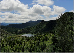
Once you get some elevation (which happens quickly during the first mile), Meta Lake becomes very visible from your dusty perch. Amazingly, this 9-acre lake that was in the blow down zone maintained its circle of life after the eruption, as self-reproducing Eastern Brook trout survived the blast and thrived afterward without much competition. I have to imagine the snow helped. Now you can see lushness all around, as reeds and grass share the nearby shore with hemlock and Douglas firs.

While standing there thinking about how nice a dip would be in such water, I realized that it was getting warmer and that we still had a long way to go. With that in mind, the two of us continued cruising up in elevation, watching the subtle changes in scenery, and getting the opportunities to really learn from one of the greatest geological and ecological laboratories in the region. Primary, secondary, and tertiary succession were really easy concepts to teach the lad on this hike, as examples were everywhere.

Picture
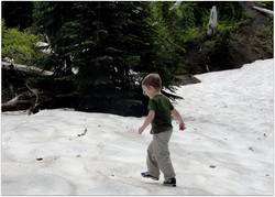
Being late July, it had been months since we had thought of snow. Much to my happiness, and definitely to that of the lad's, we came across a beautiful patch of the white stuff that was slowly melting. After testing the depth, I let the boy go to town.

While he played, I soaked my hat in some melted snow and was never so happy to have such chilliness flow down the back of my neck. It was a really welcome break, and his giddiness was contagious. Needless to say, snowball fights ensued.

Picture
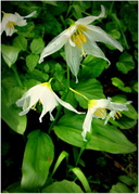
Once we left our little winter wonderland, we climbed up the elevation a bit more and were treated to some amazing flowers. Penstemon, bear grass, lupine, paintbrush, and foxglove all called out to us. Douglas fir and mountain hemlock are starting to grow quite nicely, mixed together with blasted tree trunks. Hummingbirds and bees were feasting.

It was just awe-inspiring, knowing that before the recovery, the soil had practically been blasted down to the bedrock. Thanks to some fierce competition between some ornery species, the beauty of the forest is returning.


Picture
Upon reaching Norway Pass, we took it upon ourselves to feast and explore a rough path that went just a little bit down toward Spirit Lake. The Independence Trail was closed, and we sure weren't making the trek to Mt. Margaret (that day...), so we got to just sit back and watch the cloud-covered giant of a volcano in the distance.

After pulling out the binoculars, we managed to catch some great views of the high-water mark around the lake that was left by the devastation from the summit of Mt. Saint Helens sliding into Spirit Lake three decades back. Apparently, the water was pushed up 800 feet during the event.

After some goofing around and quiet reflection on everything that we had seen thus far, we turned around and headed down. We got to play some more in the snow and really get some new vantage points of things we had missed on the way up - Mt. Rainier, a gorgeous nearby waterfall, and way too many chipmunks.

My favorite part on the way down was winning a bet with the boy around the fact that I could make a rock float. When he saw pumice do its thing, he was as giddy as I remember being the first time I ever saw it bobbing on top of water. I should have bet him $5, but instead it was just a friendly bet without a wager.

Picture
While driving toward the southern end of the volcano, we had to stop by the Trail of Two Forests Interpretive Site. We didn't have enough time to make our way through the Ape Caves, but this really worked out. Not only do you truly get to see two different forests split in the middle, but there are amazing tree molds that remain in the lava beds. There are very kid-friendly tree casts, and the boardwalk through the trail provides a really casual experience.

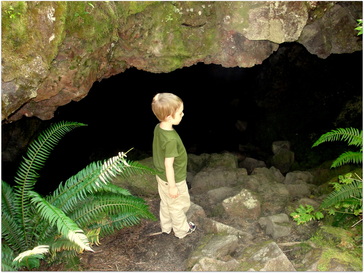
Of course, we had to take the trail away from the boardwalk and go find some bigger caves that did not have any bats hanging out. We found plenty along the slight trails, just about half of a mile away from the Interpretive Site itself.

On the way home, I found myself promising the boy that we would be back. Next time, it'll just be further up to Mt. Margaret and all the way into the Ape Caves.

More Information

Picture
Norway Pass - Washington Trails Association

Boundary Trail #1 Norway Pass TH to Norway Pass - Forest Service

Road Guide to Mt St. Helens National Park

The Narrative Image: A Million Pictures of the Same Thing: Mt. Margaret Hike via Norway Pass Trailhead

0 Comments

    Spencer Haley

    I love my kids. I love hiking. This is the intersection.

    Tweets by @Trail_Dad

    RSS Feed

    Categories

    All
    Camping
    Cascades
    Coast Range
    Difficult Hike
    Easy Hike
    Fire Lookout
    Gifford Pinchot National Forest
    Lake
    Moderate Hike
    Mount St. Helens
    Santiam State Forest
    Siuslaw National Forest
    Stream/River
    Tillamook State Forest
    Vista/View
    Volcano
    Waterfall
    Wildflowers
    Willamette Valley

    Archives

    July 2017
    July 2015
    June 2014
    March 2014
    August 2013
    July 2013
    June 2013
    May 2013
    April 2013
    September 2012
    July 2012

    RSS Feed

Powered by Create your own unique website with customizable templates.