Fun Trail Facts
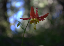
The region is often touted as hosting more than 300 species of flowers during the first part of July.
Trail Info
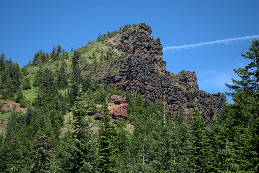
| Hike Name Iron Mountain Trail #3389 County & State Linn County, Oregon Ecoregion Cascades | Western Cascades Montane Highlands Forest Willamette National Forest Latitude & Longitude (DEC) 44.4009571, -122.1509036 Family Friendliness With the exception of the cliffs along Iron Mountain's peak, this is one of the friendliest hikes we have been on all season. That said, still one that necessitates a grand amount of hand holding as the elevation gains. Hike Difficulty Moderate Elevation 5,157 feet Elevation Gain 800 feet Distance 2.4 miles round trip Route Type Out and back Access to Trailhead Really easy to reach the upper trailhead, with just a couple of miles of decently worn gravel road going uphill after turning past mile marker 62 on Hwy 20. Multiple trail heads exist depending on what you want to accomplish (Cone Peak Trail; Santiam Wagon Road). See here. Fee Northwest Forest Pass |
Trip Report
We had big plans a week ago to do some major camping near Iron Mountain, but untimely car troubles (are there any other kind?) sunk that prospect. With some new wheels to get us from Point A to Point B, it was time to initiate the new vehicle with a good trek to the Willamette National Forest.
The trailhead was hopping when we arrived, and excitingly, it was loaded with little hikers. I can't remember the last time I saw so many little legs coming and going on the trail!
Informative brochures await at the trailhead, as do some pretty great maps of all the hiking trails that intersect Iron Mountain. Major kudos to the Sweet Home Rangers for hooking us up with such material.
We were running a bit late that day, so we had opted for the shortest hike straight from the Iron Mountain trailhead, but trust me, the lengthier Cone Peak Trail is on the agenda for another time.
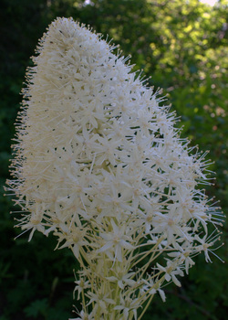
The U-turn provided some great opportunities to deeply breathe in the blooming beargrass, and when asked why he couldn't just go potty in the woods, I was able to take the moment and explain what a sensitive area was and why stomping through it unnecessarily was never a good idea.
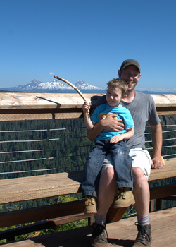
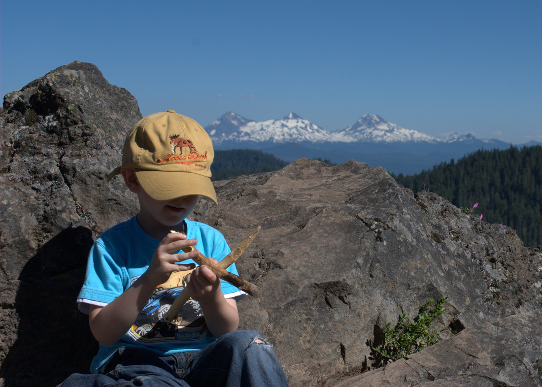
Upon hitting the trail again, we started upward. I am consistently becoming surprised at how strong the little guy is getting; He managed to do the entire trek upward on his own, passing otherwise fit-looking adults who were winded at times. Having a four-year-old cruise past you was sufficient motivation for those couple of folks to keep going!
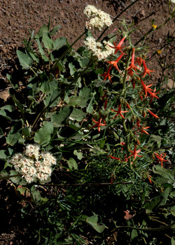
After a while, the terrain really opens up as you move out of the forest and into the rocky meadows. Every few feet of elevation brought forth more and more floral surprises. The colors, the scents, the butterflies and bees. Combined with switchbacks that framed Mount Jefferson and the Three Sisters, and you truly have one of the most beautiful spots in Oregon.
While eating lunch, the boy and I had a chance to go through some of our pictures and identify flowers based on the informational brochure we picked up at the trailhead:
Baldhip Rose blossom (Rosa gymnocarpa)
Wooly Sunflower (Eriophyllum lanatum)
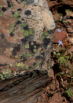
Oregon, Creamy, and Spreading Stonecrops (Sedum oreganum, oregonense, & divergens)
Scarlet Gilia (Ipomopsis aggregata)
Blue Mountain Larkspur (Delphinium depauperatum)
Crimson columbine (Aquilegia formosa)
Beargrass (Xerophyllux tenax)
This was only a fraction of our pictures, and we still have a lot of identification to perform!
I played porter for the trip down, with the lad on my shoulders the whole way down.
In moments that melted my heart (and those of some folks coming up the trail), he was singing an impromptu hiking song all about going the right way or the wrong way when you come to a fork in the trail. It was tough to beat the beauty of the botanical masterpieces all around, but I think he pulled it off.
More Information
 RSS Feed
